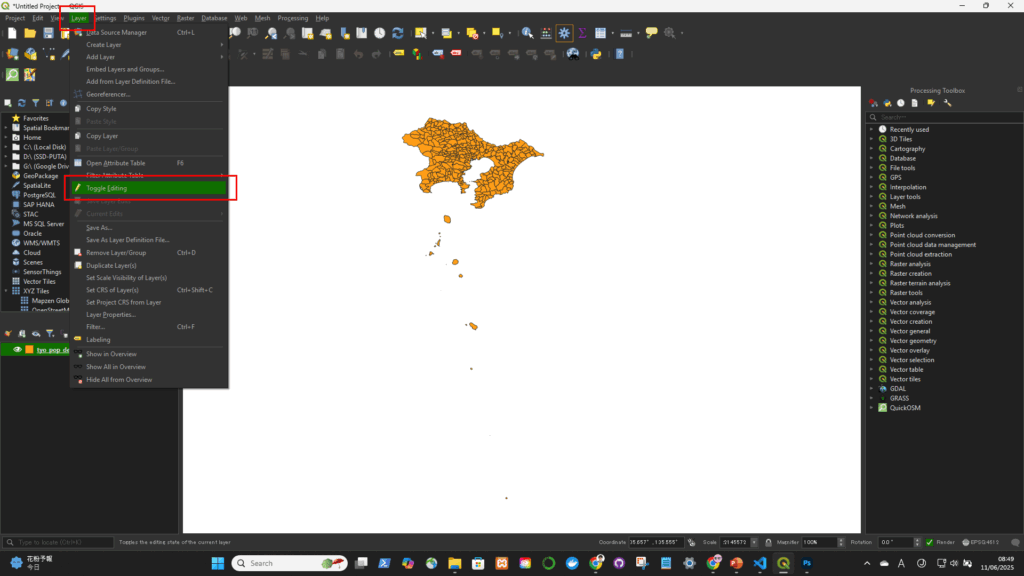
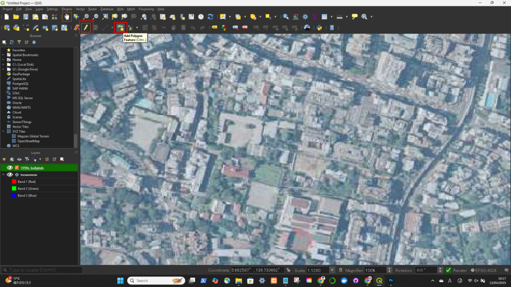
Layer -> Toggle Editing
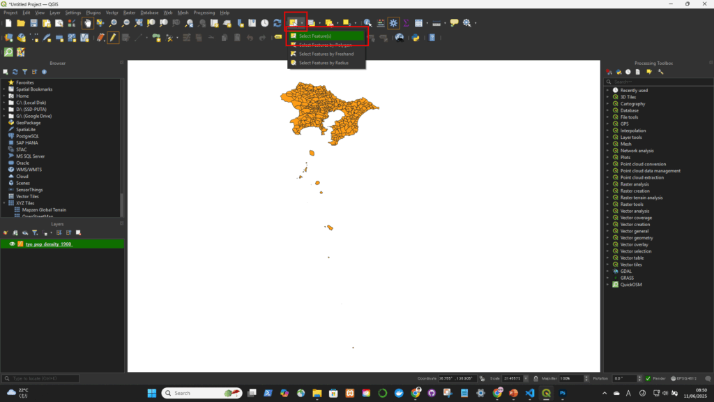
Select Features
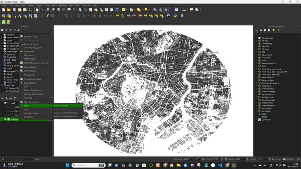
Export


個人的な練習用のウェブサイトです
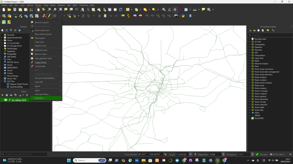
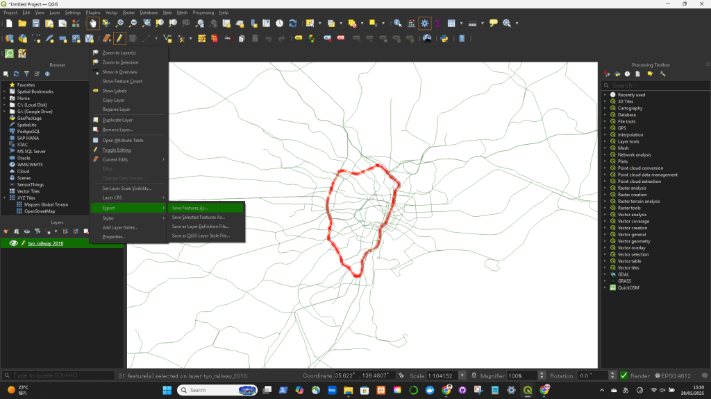
Layer -> Toggle Editing
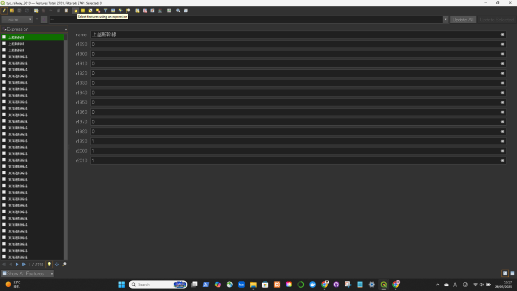
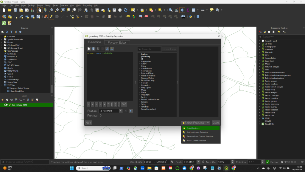
Select Features
Export
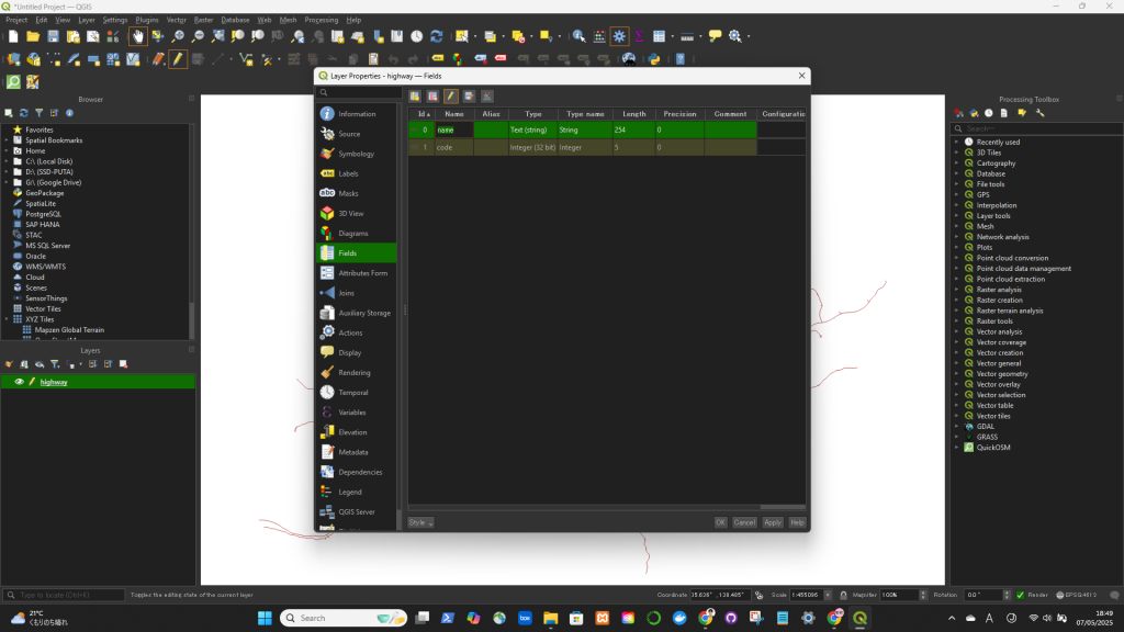
"name" LIKE '%山手線%'If you want to export only the selected features:


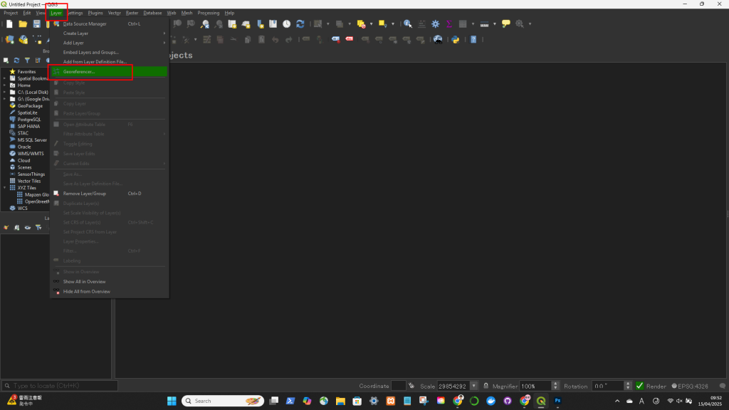
Layer > Georeferencer....
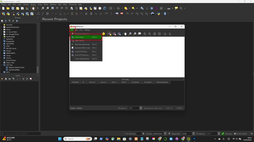
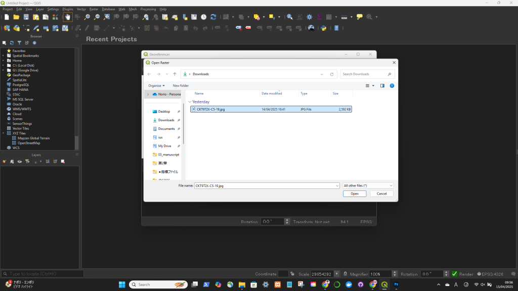
File > Open Raster
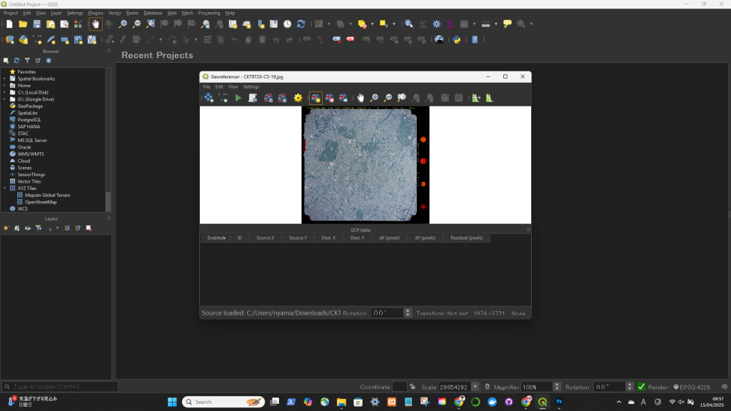
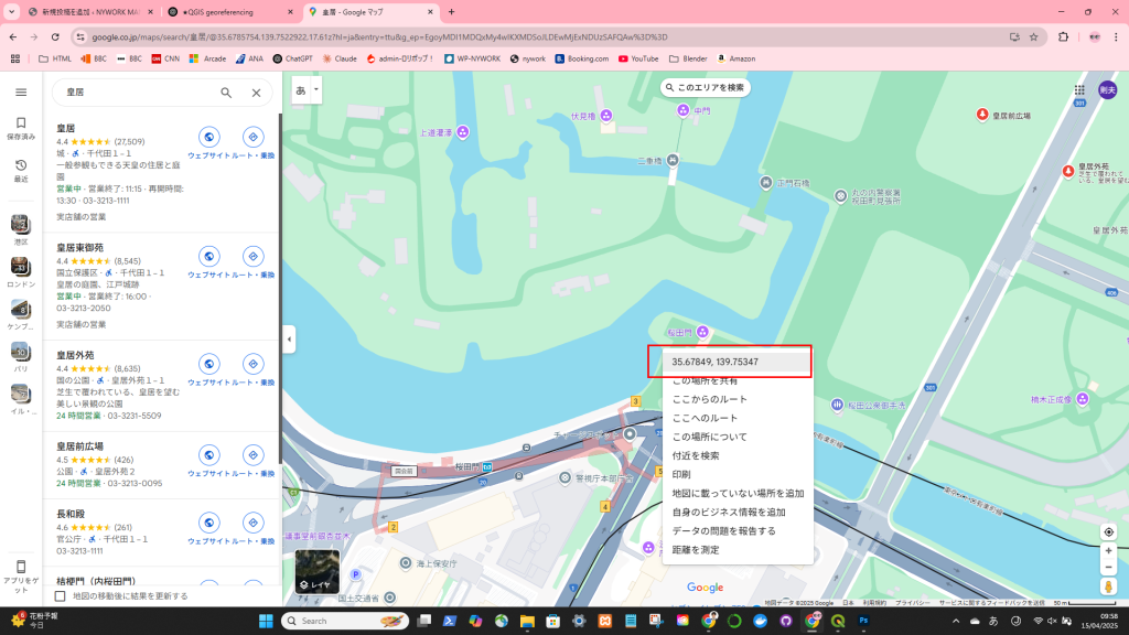
ジオレファレンスしたいポイントの緯度経度を調べる
Click on the Add Point tool
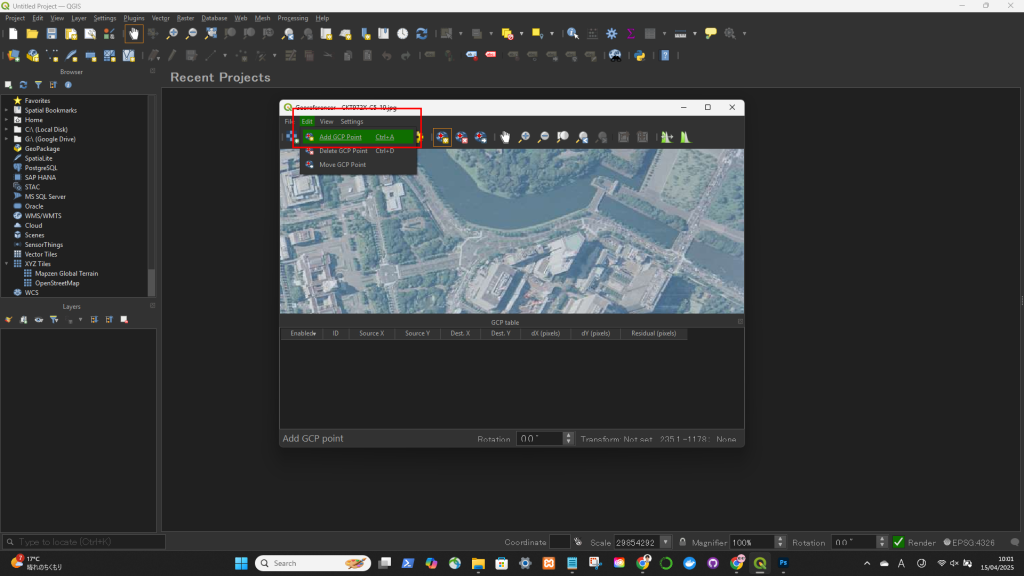
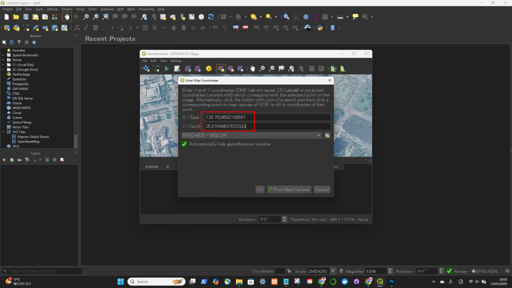
->ジオレファレンスしたいポイントを地図上でクリックして、緯度経度を入力
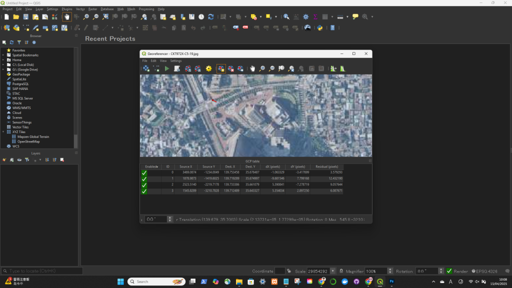
Click on the Transformation Settings icon (gear icon) or go to Settings > Transformation Settings
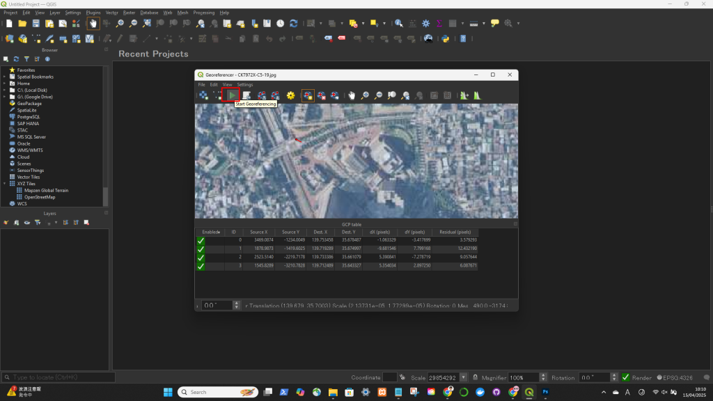
Click on the Start Georeferencing button (green play icon).
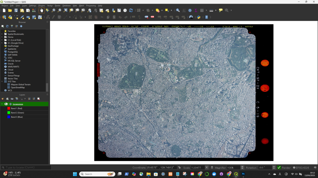
ジオレファレンスできた!
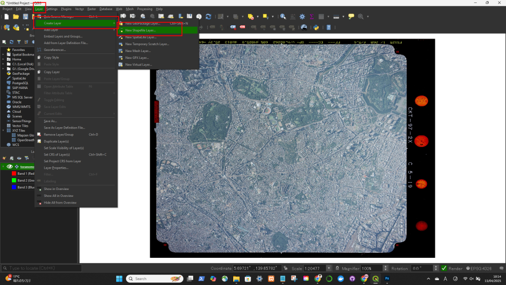
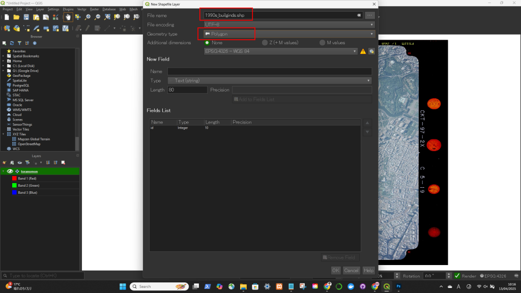
レイヤー → Create Layer → New Shape Layear
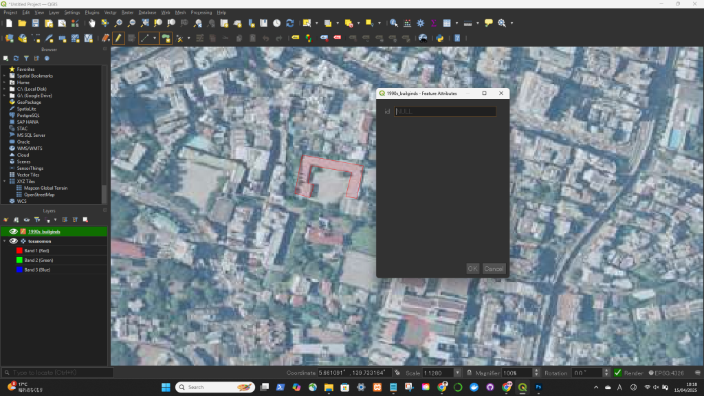
最後の頂点を描いた後、右クリックすると描画終了
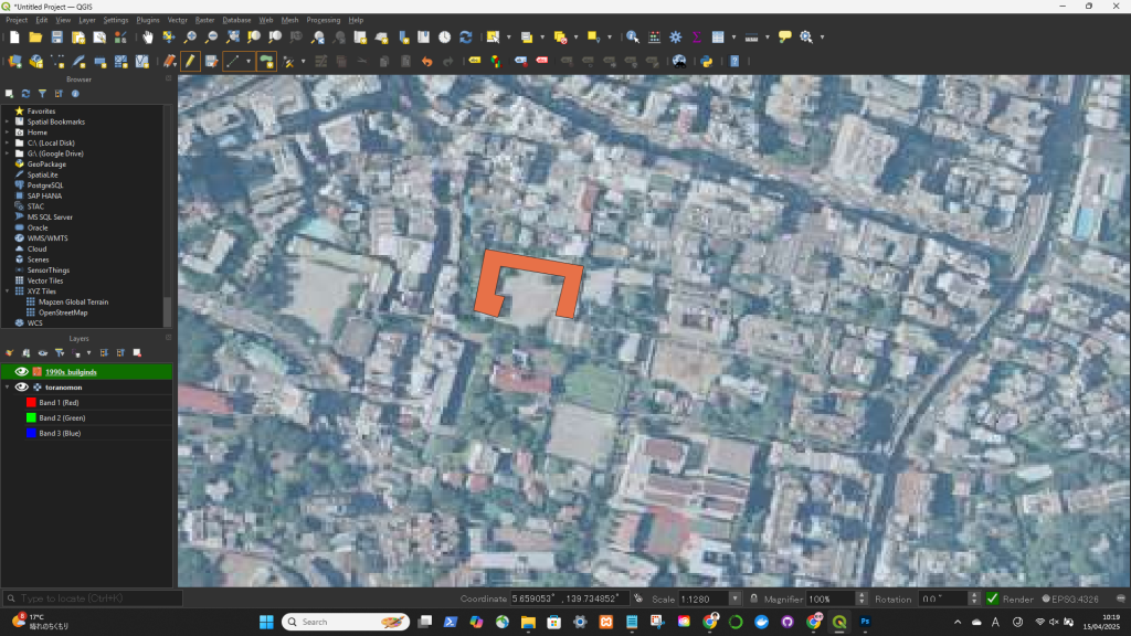
スペースキーを押すとマップを移動可能
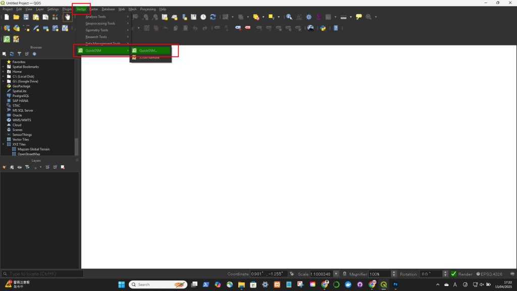
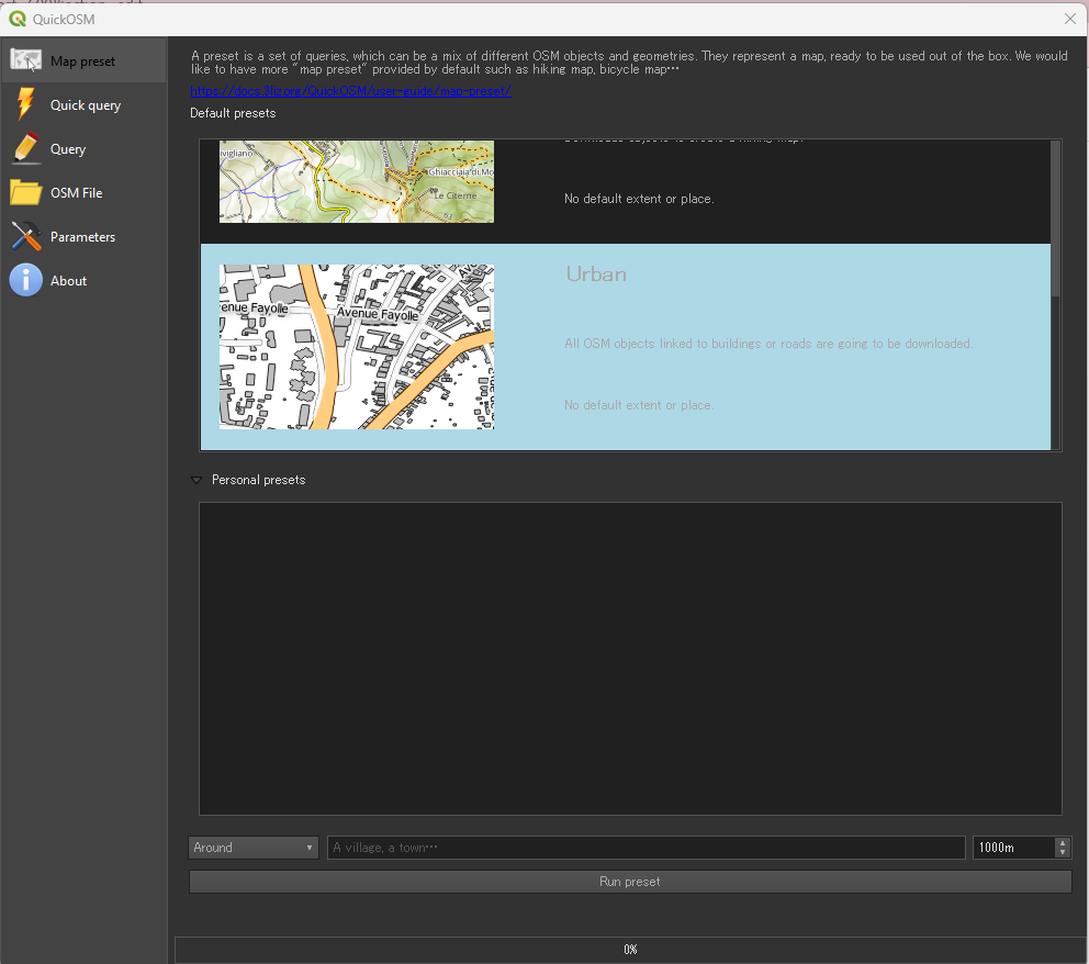
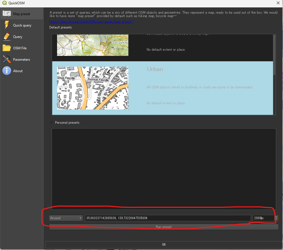
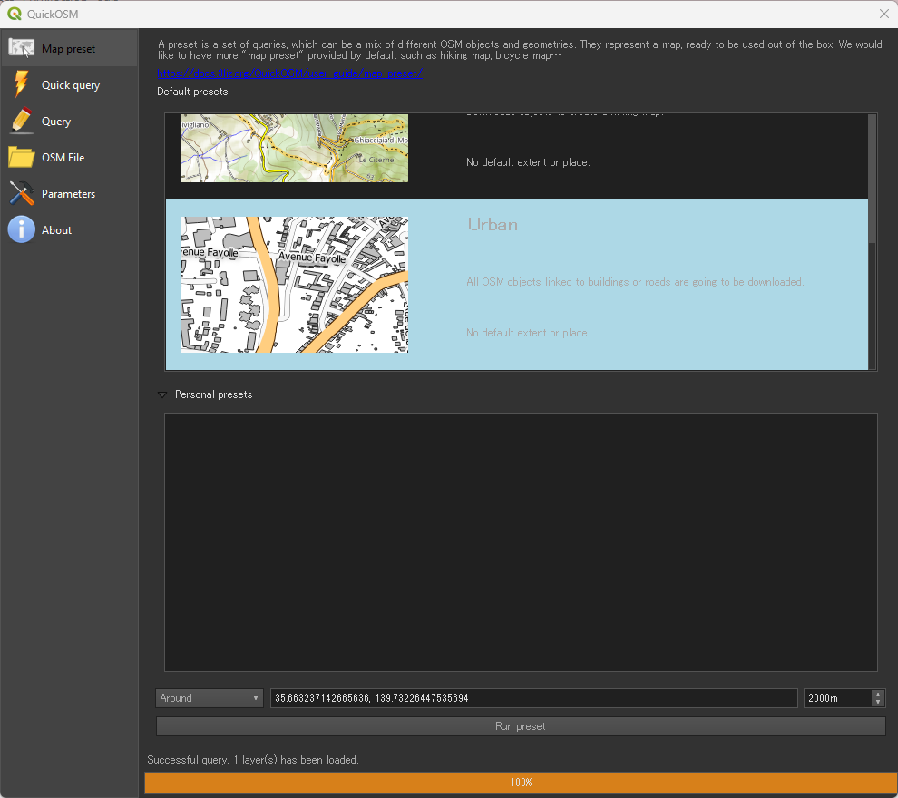
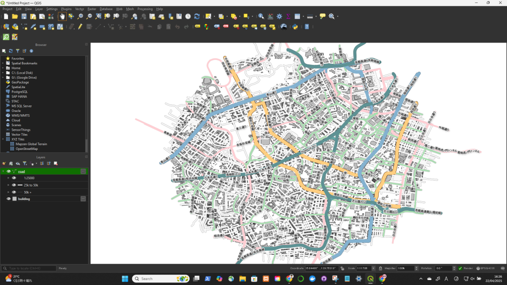
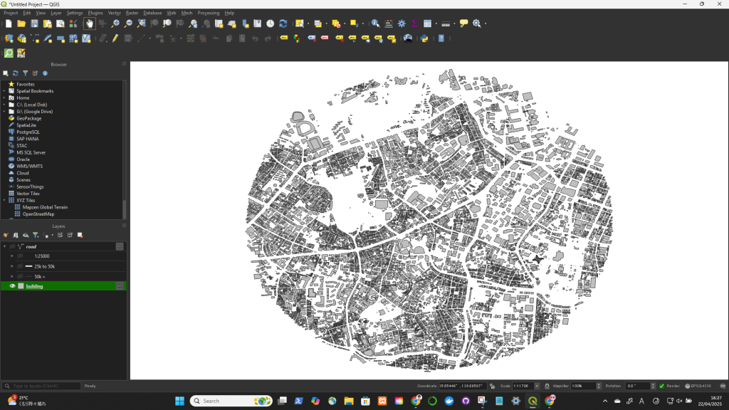
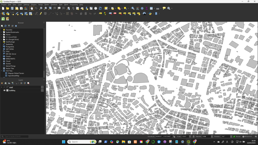
Plugins → Manage and Install Plugins…Vector → QuickOSM → QuickOSM…buildingyesYou’ll get layers like:
PointsLinesPolygons (for buildings, land use, etc.)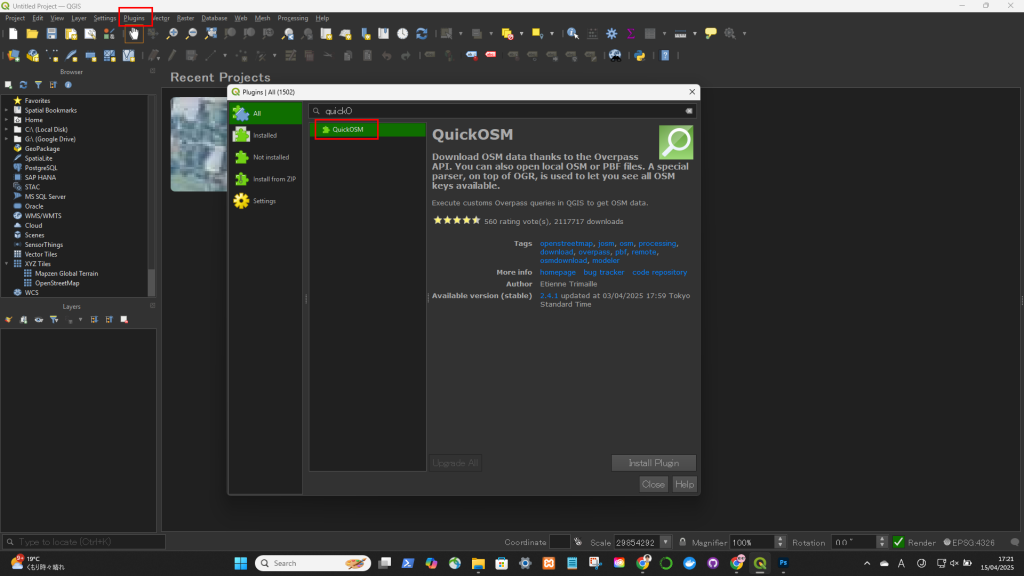
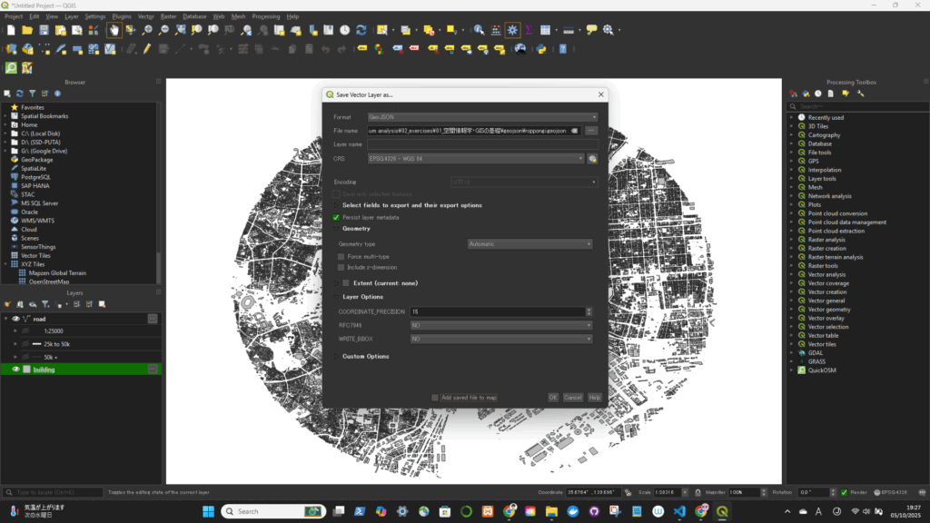
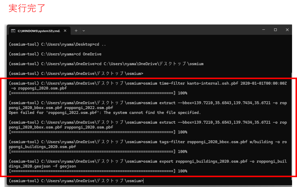
geojsonとして書き出す